


Headlines
- EARLY MONDAY RAIN
- HUMIDITY INCREASES
- DAILY CHANCE FOR RAIN
We're tracking upper-level energy rotating through the atmosphere. It is located over Missouri as of late Sunday afternoon. The energy will pass over central Indiana late Sunday night and early Monday morning. This will be the spark needed for scattered showers and thunderstorms to develop.
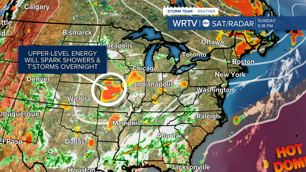
The window for rain will be between 2 a.m. and 7 a.m. Monday. I am not expecting severe weather, but instead good sleeping weather.
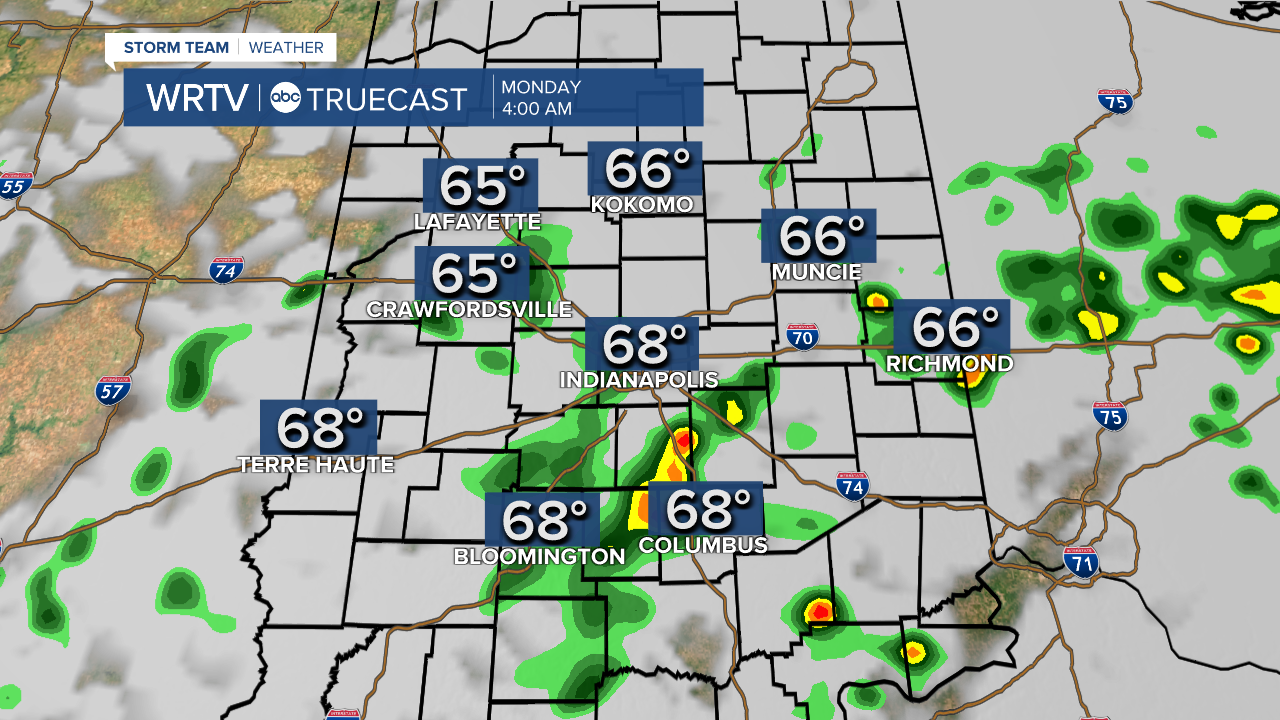
Skies will remain cloudy overnight and temperatures will only drop to the lower to middle 60°s.
Most of Monday should remain mostly cloudy, although brightening skies during the afternoon won't be a surprise. Temperatures will peak in the lower 80°s.

We will have another chance for a few scattered showers and thunderstorms to develop during the peak heating of the day, Monday.
The pattern looks to stagnate until a cold front passes later in the week. Prior to the frontal passage, humidity will increase as dew points climb to the upper 60°s by Wednesday. There will also be a near daily chance for showers and thunderstorms.
Once the front passes, humidity will ease and temperatures will slightly cool.
Indianapolis Weather Forecast:
Monday: Mostly cloudy. Early morning showers & t'storms. PM scattered showers. High: 83°
Tuesday: Partly cloudy. Isolated shower shower. High: 84°
Wednesday: Mostly cloudy. Scattered showers and t'storms. High: 85°
Thursday: Clouds decrease. Scattered shower possible south. High: 83°
Indianapolis 7-Day Weather Forecast

